Most smartphone users don’t realize their GPS can be off by 10 meters or more. This common problem happens especially in cities with tall buildings or indoors where satellite signals get blocked.
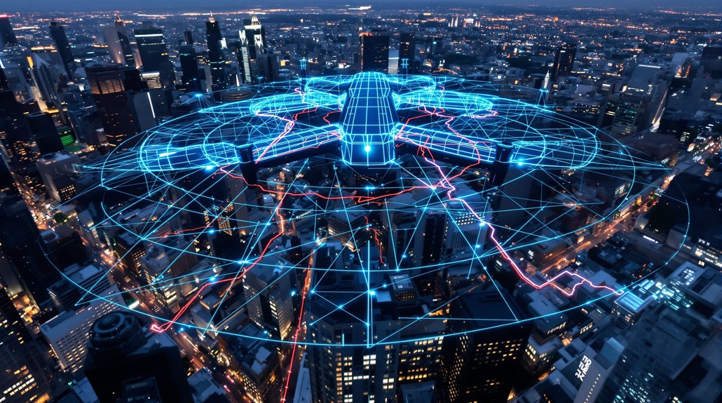
Now artificial intelligence is changing how navigation works by making location tracking up to 40 times more accurate. The breakthrough comes from combining AI-powered image processing with traditional GPS. Cameras on phones, cars, and drones can now analyze what they see to figure out exactly where they are. This visual localization technology can pinpoint locations down to just a few centimeters. When GPS signals get weak or bouncy between buildings, the AI uses pictures of the surroundings to stay on track.
AI-powered cameras can now pinpoint locations down to just a few centimeters by analyzing visual surroundings.
Standard GPS faces many problems that make it less accurate. Satellite clocks drift over time. Signals bounce off buildings before reaching phones, creating errors. Urban canyons and indoor spaces block signals completely. Machine learning models now predict these errors and fix them automatically. Tests show AI can improve GPS accuracy by 57% just by predicting satellite clock problems better than older methods.
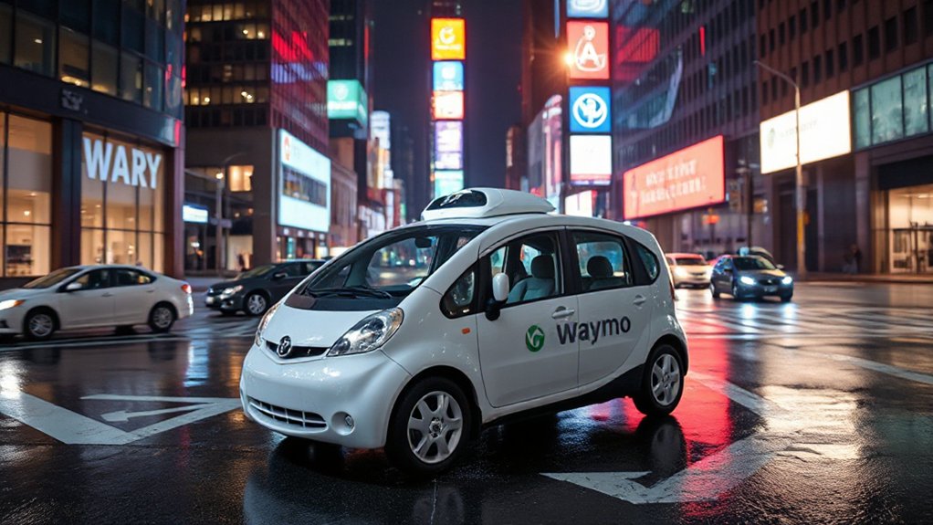
The real power comes when AI combines visual and GPS data together. Reports show this fusion makes navigation 10 to 40 times more precise than GPS alone. Self-driving cars already use these systems to stay in the correct lane even when GPS isn’t reliable. Drones navigate inside warehouses where no GPS signals exist. Augmented reality apps place virtual objects exactly where they should appear in the real world.
Different AI models tackle specific navigation challenges. Wavelet neural networks forecast satellite clock errors 39% to 57% better than standard methods. Deep learning handles complex GPS errors that change over time. Long Short-Term Memory networks process sequences of location data to predict where something’s heading next. Researchers found that integrating optimization algorithms with neural networks significantly enhances prediction performance across all model types.
This technology isn’t just for specialized equipment anymore. Regular smartphones now use AI image assistance to improve walking directions and indoor navigation. Field studies show that linking smartphones to external GNSS receivers can significantly improve geolocation performance, with surveyor-grade units achieving median accuracy of 0.5-1.1 meters. Surveyors employ AI vision to double-check GPS readings for mapping projects. Mobile robots navigate factories and hospitals with centimeter precision.
As cameras and AI chips become standard in more devices, super-accurate navigation will become normal for everyone.
