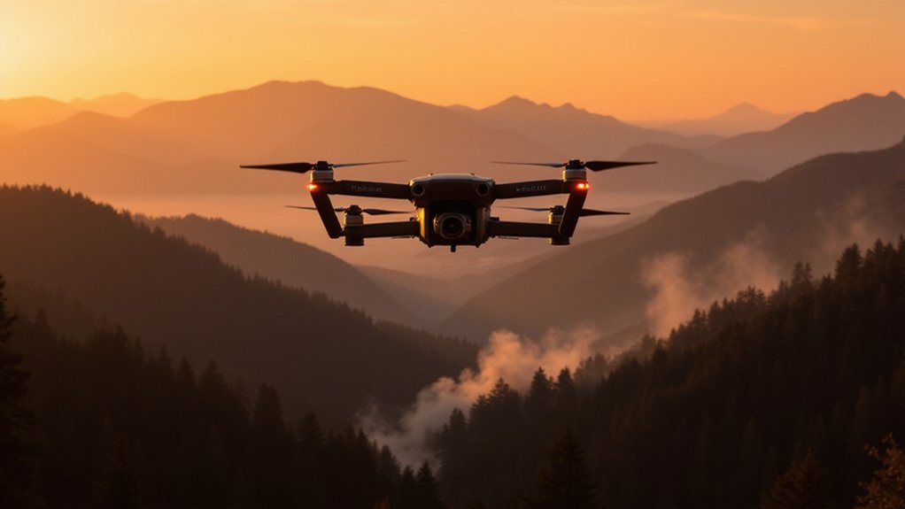
While California burns and traditional fire detection systems lag behind, AI-powered drones are swooping in to save the day. These flying robots armed with artificial intelligence can spot smoke plumes and analyze thermal signatures faster than any human could dream of. Three minutes. That’s all it takes for some systems to detect and alert authorities about a new fire. Meanwhile, someone calling 911 might still be on hold.
The technology is already active in at least ten states, with California leading the charge. Drones equipped with high-resolution sensors and thermal imaging cameras patrol day and night, scanning terrains that ground crews can’t reach. They don’t need coffee breaks. They don’t complain about the heat. They just fly, detect, and report.
Machine learning models digest years of historical fire and weather data, getting smarter with each blaze. These AI systems process live drone footage alongside satellite imagery and ground sensor feeds, creating a multi-layered surveillance network that would make Big Brother jealous. The 360-degree rotating cameras mounted on towers and drones miss nothing, providing thorough terrain monitoring that human spotters could never match. In fact, Pano AI systems in Oregon have already proven they can detect fires faster than human lookouts across four high-risk counties.
Real-time response is where this tech really shines. AI platforms instantly deliver verified alerts with precise location data to firefighters and command centers. No more playing telephone or relying on panicked civilian reports. The system overlays camera feeds with weather data, giving firefighters situational awareness that borders on clairvoyance. These systems complement simulators like FiReLine and Z-FIRE that predict which homes are most vulnerable to future wildfires.
Predictive analytics take it further. AI models forecast fire likelihood using constantly updated meteorological data, showing a 47% improvement over legacy indices. They assess vegetation, terrain, and weather patterns to identify high-risk zones before flames even spark. Insurance companies love this stuff. The AI analyzes weather data every 30 minutes to capture dynamic patterns that could trigger wildfire outbreaks.
The collaboration between satellites, drones, and IoT networks creates an interconnected web of fire detection. Heat anomaly detection from space triggers drone deployment. Ground sensors relay environmental changes. Machine learning processes this massive data dump to map fire perimeters and predict spread patterns. It’s not perfect, but it’s leagues better than waiting for someone to spot smoke and make a phone call.
References
- https://www.risk-strategies.com/blog/how-ai-fire-technology-and-insurers-are-reinventing-wildfire-detection-in-2025
- https://phys.org/news/2025-01-wildfires-ai-powered-tool-combat.html
- https://netzeroinsights.com/resources/five-wildfire-management-startups-to-watch-in-2025/
- https://www.platypussprinklerusa.com/wildfire-news/future-wildfire-detection-emerging-technologies/
- https://www.foxnews.com/tech/fire-departments-turn-ai-detect-wildfires-faster


