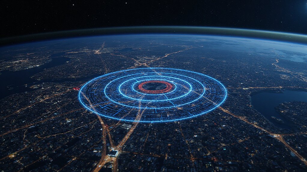
When someone pulls out their phone to find the nearest coffee shop, they’re unknowingly triggering a mathematical symphony involving satellites 12,000 miles above Earth. The whole thing starts with at least four satellites beaming down signals packed with Gold codes—special mathematical sequences that basically scream “Hey, I’m satellite number 23!” without getting mixed up with the other voices in the cosmic choir.
Your phone triggers a mathematical symphony with satellites 12,000 miles above Earth
Here’s where it gets wild. Each satellite knows exactly where it is, thanks to something called the Ephemeris Algorithm. This mathematical beast crunches orbital parameters and spits out real-time coordinates using the WGS-84 reference system. Meanwhile, your phone is playing detective, using autocorrelation functions to match the signals it receives with what it expects. More bits compared means better accuracy. Simple as that.
The real magic happens with trilateration—a fancy word for “finding where spheres intersect.” Your phone calculates the distance to each satellite by measuring how long their signals took to arrive. Speed of light times time equals distance. Basic physics, right? Wrong. These calculations form a nasty system of nonlinear equations that would make most calculators cry. Four satellites, four equations, three dimensions plus one for fixing timing errors. Without relativistic corrections, your GPS position would drift by about 10 kilometers every single day.
But wait, there’s more math torture. Engineers obsess over something called PDOP—Positional Dilution of Precision. Lower PDOP means better accuracy. Getting it requires matrix operations so complex they’re literally a trillion times harder than basic math problems. Satellites spread far apart? Good geometry, low PDOP. Satellites bunched together? You’re getting lost. The stakes are especially high in aviation where vertical uncertainty of just ±10 meters can mean the difference between a smooth landing and disaster.
Once GPS figures out where you are, Google Maps treats the entire road network like a massive mathematical graph. Intersections become nodes, roads become weighted edges. Not just distance—traffic, speed limits, that annoying construction zone all factor in. Algorithms like Dijkstra’s and A* race through millions of possible paths, hunting for the best route.
The system constantly updates, feeding in live traffic data and road closures. It’s recalculating faster than you can say “recalculating.” All this mathematical heavy lifting happens in milliseconds, just so you can avoid that traffic jam on I-95.
References
- https://nbmg.unr.edu/staff/pdfs/blewitt basics of gps.pdf
- https://mathinstitutes.org/highlights/gps-algorithms
- https://www.sparkl.me/learn/ib-myp-1-3/math/how-gps-and-navigation-use-math/revision-notes/5621
- https://hackerearth.com/blog/breadth-first-search-bfs-algorithm-example-gps-navigation
- https://files.eric.ed.gov/fulltext/ED542544.pdf


