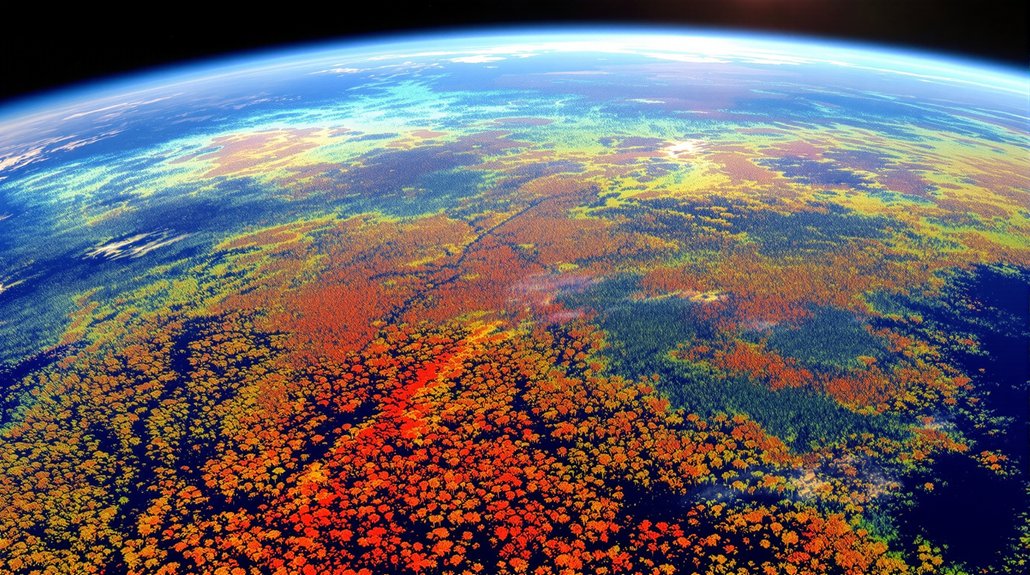

Most wildfires start small—under 10 acres, actually—but the ones that escape early containment turn into monsters that devour homes, forests, and occasionally entire towns. That’s where FuelVision comes in, an AI system that maps wildfire fuel from satellite data in near real time. No ground surveys needed. No waiting around for weeks while someone trudges through the wilderness with a clipboard.
The system hits 77% accuracy when validated against actual burn areas, which is pretty impressive considering it’s looking at the planet from space. It works anywhere too, pulling data from global satellite sources to create fuel maps for diverse regions nationwide. Fire agencies, researchers, and emergency responders can finally get large-scale risk assessments without the usual bureaucratic nightmare.
The tech behind this isn’t exactly simple. FuelVision uses generative adversarial networks—GANs, if you’re into acronyms—to enhance training datasets and boost mapping reliability. There’s also something called zone-adaptive fuel mapping that achieves high-resolution results. The whole thing trains on Forest Service data and pulls from optical, thermal, and satellite imagery. Multiple data sources, one cohesive picture.
But mapping is just part of the story. AI-equipped cameras like FireScout and ALERTWildfire now spot smoke across vast areas, while Pano AI alerts authorities with precise location data. Google’s partnership with Earth Fire Alliance takes detection even further, deploying 50 satellites that can spot wildfires as small as 16×16 feet with updates every 20 minutes. Though powerful, these AI systems contribute to the energy consumption crisis faced by data centers worldwide. Lockheed Martin and NVIDIA are even collaborating on predictive models that simulate how fires will likely spread. It’s like having a crystal ball, except it actually works.
These tools aren’t locked behind some corporate firewall either. Local agencies, national forest authorities, research institutions—they all get access through user-friendly interfaces. UCLA researchers plan to release a Python-based interface that lets users with basic coding skills generate on-demand fuel maps. Landowners, utilities, and planners can use them too. The systems automatically update, keeping fuel maps current without requiring specialized expertise. They even play nice with existing GIS platforms.
Near real-time fuel maps mean emergency teams can make smarter, faster decisions. Better resource allocation. Quicker containment. More protected properties. Companies like Intterra deliver situational awareness for both wildland and urban environments, helping crews stay proactive against fast-moving blazes. When minutes matter, having immediate wildfire risk insight beats waiting for traditional analysis every single time.
References
- https://phys.org/news/2025-08-ai-powered-tool-real-large.html
- https://westgov.org/news/article/best-of-the-west-using-ai-to-detect-wildfires-advocating-for-reca-utah-solar-sustainable-aviation-fuel-wildfire-fuels-reduction-and-endangered-fish-restoration
- https://www.nature.com/articles/s41598-025-06402-1
- https://www.pano.ai
- https://scienceblog.com/ai-maps-the-fuels-that-feed-wildfires-before-they-spread/